SITES GIS
Welcome to SITES GIS
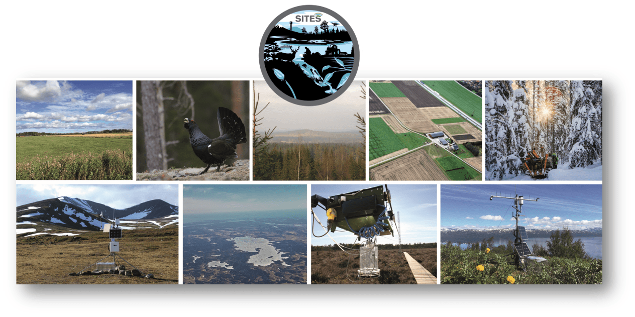
SITES (Swedish Infrastructure for Ecosystem Science) is a distributed national infrastructure for terrestrial and limnological field research. SITES aims to promote high-quality research by offering well-functioning infrastructures for field research at the stations and by making data from long-term field measurements and field experiments openly available on the SITES Data Portal.
SITES GIS provides information about the SITES research stations, which represent a variety of Swedish climate zones and ecosystems, including agricultural land, forests, wetlands, lakes and streams.
SITES GIS provides three different types of web-based services:
-
Stations
A searchable map of research stations with different filtering functions in relation to their settings. Clicking on a research stations lets you explore more information about the research station, including text descriptions and facts about the station operations, facilities, science activities and surroundings. -
Research
A searchable research project database (under continuous development) with information about historical and current research projects at the stations. -
Application
An application module for scientists applying for access to the research stations. The SITES GIS application module is currently used by Abisko research stations (with plans to implement for all SITES stations).
Be a part of the SITES community!